Mapping - Geographical Information System (GIS)
Computer mapping (GIS) is becoming an indispensable tool for all forest and land managers. Today’s GIS systems can be tailored to meet the needs of any land management enterprise allowing even small landowners to benefit from accurate mapping, better decision-making and a more reliable record-keeping system.
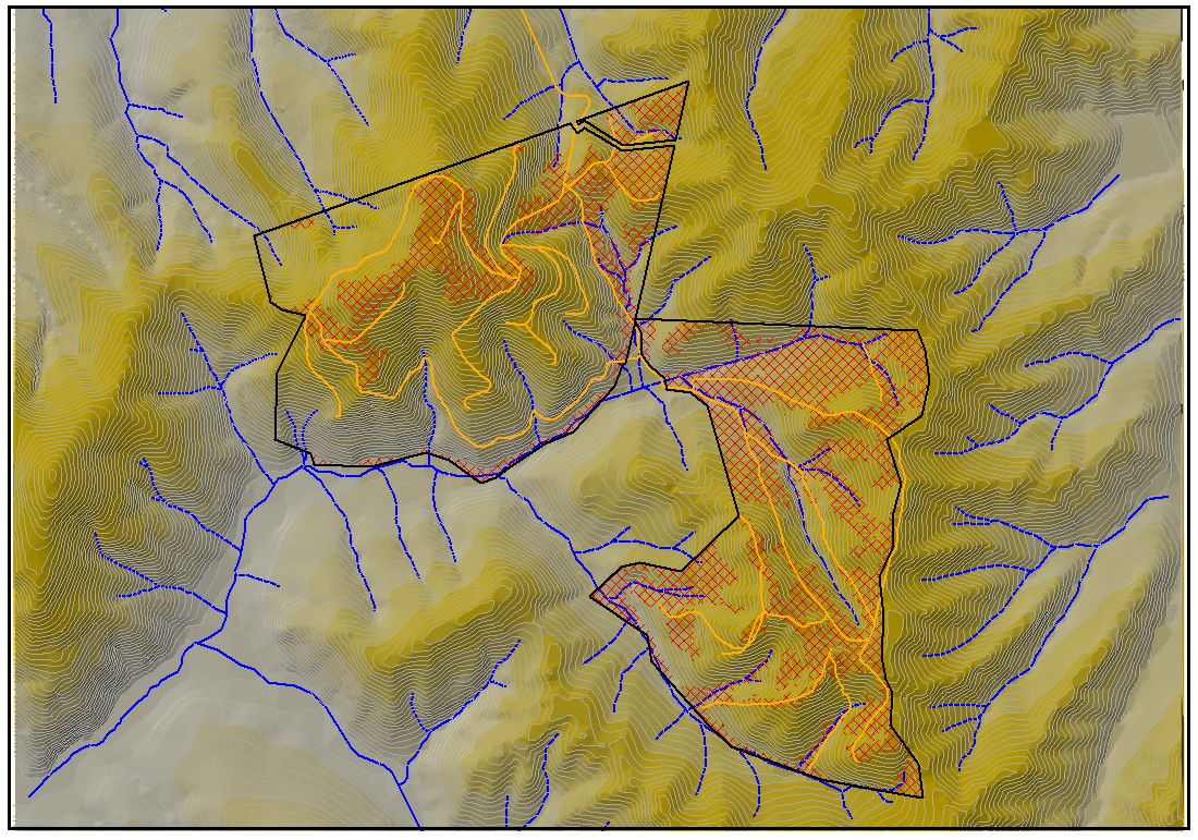
In its simplest form, GIS can be used to produce basic maps for field work and project decision-making based on aerial photography or the national Topomaps images. But more complex analysis can be preformed. Digital terrain models can be built to show contours, slope classes, aspect, drainage and slope stability and then overlaid with soil types, vegetation types, waterways, fence lines, roads, tracks, irrigation lines, and all manner of features. Coordinates, lengths, areas, and proximity of features can all be readily calculated.